Travel planning by

34
Routes
6
Hubs
SUD
ICAO
SD
IATA
TravelerPulse profile
Sudan's national flag carrier connecting Africa and beyond.
Founded
1946
Headquarters
Khartoum, Sudan
Sudan Airways is the national airline of Sudan, founded in 1946 and one of the oldest carriers on the African continent. Operating under the IATA code SD and ICAO code SUD, it is wholly owned by the Sudanese government and serves as the country's primary international and domestic air transport link.
The airline has faced significant operational and financial challenges over the decades, including the impact of international sanctions on Sudan, which restricted its ability to acquire modern aircraft and spare parts. These difficulties have led to a reduced fleet and a curtailed route network compared to its earlier years of operation.
Despite persistent difficulties, Sudan Airways continues to operate flights connecting Khartoum with destinations across Africa, the Middle East, and occasionally Europe, playing a critical role in the country's civil aviation infrastructure.
Hubs & network
Sudan Airways primarily operates from Khartoum International Airport (KRT) as its main hub.
Fleet
Sudan Airways has historically operated a mixed fleet including Airbus A310s and Boeing 737s, though its active fleet size has been limited due to financial and sanctions-related constraints.
Notable facts
- ›Sudan Airways was established in 1946, making it one of Africa's oldest airlines.
- ›The airline has been heavily impacted by decades of US and international sanctions against Sudan.
- ›It is wholly state-owned by the government of Sudan.
- ›The airline has struggled with an aging fleet and difficulty sourcing spare parts due to sanctions.
- ›Sudan Airways operates routes across Africa and the Middle East from its Khartoum hub.
This profile is provided for general information only. Contact details may be inaccurate or outdated — always verify with the airline's official website before acting on them.
Primary hubs
Route network map (34 legs)
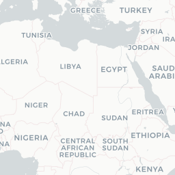
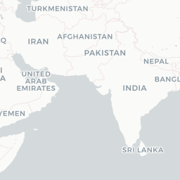
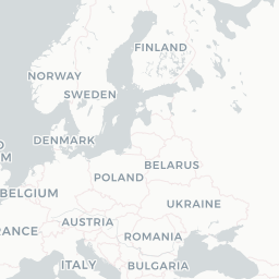
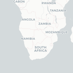

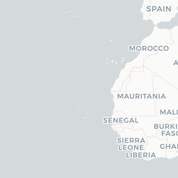
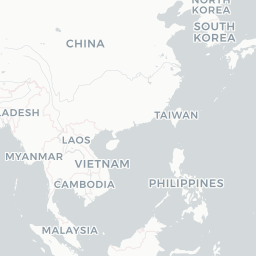
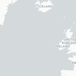


Leaflet © OpenStreetMap © CARTO
Route network
ADD → KRT320
KAN → KRTAB6
KRT → NDJAB6
KRT → PZUYK2 320
KRT → SHJAB6
PZU → KRTYK2 320
UYL → KRT320
AUH → KRTAB6
CAI → KRT320 AB6
DXB → KRTAB6
EGN → KRTYK2
KRT → UYL320
DOH → KRT320
ELF → KRTYK2
JED → PZU320
JUB → KRT320
KRT → ADD320
KRT → AUHAB6
KRT → CAI320 AB6
KRT → EGNYK2
KRT → ELFYK2
KRT → JUB320
KRT → RUHAB6
NDJ → KANAB6
PZU → CAI320
RUH → KRTAB6
CAI → PZU320
JED → KRTAB6 320
KRT → AMM320
KRT → DOH320 AB6
KRT → DXBAB6
KRT → JEDAB6 320
PZU → JED320
SHJ → AUHAB6
Fleet (aircraft types operated)
Encyclopaedia
Sudan Airways is the flag carrier airline of Sudan, headquartered in Khartoum. Since 2012, the company has been fully owned by the Government of Sudan.
Read full article on WikipediaLatest news
ch-aviation.com· 9/3/2026
Sudan Airways restarts ops from Khartoum HQ
Read at ch-aviation.com
Sudan Tribune· 5/7/2026
Sudan Airways to resume Khartoum flights as Qatar Airways audits Port Sudan
Read at Sudan Tribune
Dabanga Radio TV Online· 6/28/2026
‘Latest US sanctions on Sudanese aviation could complicate finance, commerce’
Read at Dabanga Radio TV Online
KFYR-TV· 2/1/2026
Sudan’s war-torn capital sees second commercial flight land since conflict began
Read at KFYR-TV
Aviation Week· 2/2/2026
Sudan Resumes Domestic Flights To Khartoum After Two-Year Suspension
Read at Aviation Week
Al Jazeera· 2/1/2026
Khartoum airport receives first scheduled flight since start of Sudan war
Read at Al Jazeera