
AirlinesAirports.com
Travel planning byTravelerPulse.pro
Bangoka International Airport International Hub illustrationInternational Hub
Airports
FKIlarge airport

Bangoka International Airport

Kisangani, Democratic Republic of the Congo
Explore Kisangani city guide Navigate to this airport
2
Routes out
2
Destinations
FZIC
ICAO
1417 ft
Elevation
AirlinesAirports profile

Gateway to the Congo Basin in northeastern DRC.

Location
Kisangani, Democratic Republic of the Congo
Bangoka International Airport is the principal commercial airport serving Kisangani, the largest city in northeastern Democratic Republic of the Congo. It is located in the Tshopo Province and serves as a critical link for a region where road infrastructure is limited and river transport is slow. The airport handles both domestic and limited international traffic, connecting Kisangani to Kinshasa and other Congolese cities. It has historically been important for humanitarian and cargo operations, given Kisangani's role as a hub for eastern DRC relief efforts. Infrastructure at the airport remains modest, reflective of the broader challenges facing aviation in the DRC. Despite its international designation, regular scheduled international routes are limited, and the airport primarily serves domestic carriers and charter operations.
Terminals
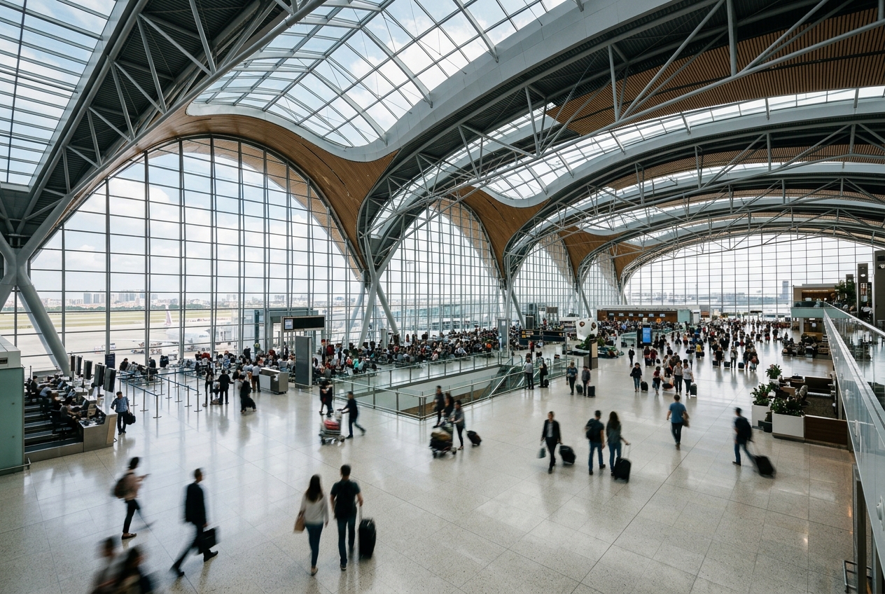
The airport has a single modest terminal building handling both domestic and international passengers.
Getting to & from
Ground transport between the airport and central Kisangani is primarily via road, with taxis and informal minibuses being the main options.
Airlines here
Congo Airways and Busy Bee Congo are among the carriers operating scheduled services through Bangoka International Airport.
Notable facts
  • ›Bangoka International Airport serves Kisangani, the fourth-largest city in the DRC.
  • ›The airport has been used extensively for humanitarian and UN logistics operations.
  • ›Its IATA code FKI reflects the former colonial name of Kisangani, Stanleyville.
  • ›The airport is situated at an elevation of approximately 1,457 feet (444 meters) above sea level.
  • ›Limited infrastructure and funding have historically constrained expansion and modernization efforts.
This profile is provided for general information only. Details may be inaccurate or outdated — always verify with the airport's official website before acting on them.

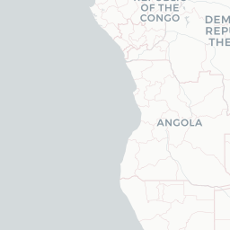
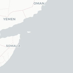
Route map (2 destinations)

Leaflet © OpenStreetMap © CARTO

Routes

FKI → GOMBU · 320
FKI → FIHBU · 320

Aircraft operating here

Hotels near FKI

Pick what matters for your layover or early flight, then compare on your favorite booking site.

Compare stays for your dates

AirlinesAirports may receive compensation when you book or purchase through some of the links on this page, at no additional cost to you. Prices and availability are set by the booking provider and may change. We never share your private trip details with partners — only the destination, dates and party size you searched.

City & Place Guide

River city gateway to Congo's wild heart

Kisangani sits at the uppermost navigable point of the Congo River, deep in the equatorial rainforest of northeastern DRC. Once known as Stanleyville, it carries a complex colonial and post-colonial history yet remains one of the country's most strategically important inland cities.

Despite decades of conflict, the city has stabilized considerably and offers travelers a raw, authentic glimpse of Central African river life. The surrounding jungle and the powerful Congo River itself are the main draws, alongside vibrant local markets and the warm hospitality of its residents.

  • •Wagenia Falls (Boyoma Falls) — dramatic fishing weirs and traditional traps on the Congo River's powerful rapids
  • •Wagenia Fishermen's Village — watch local fishermen use centuries-old conical basket-trap techniques
  • •Kisangani Central Market — bustling hub of commerce, tropical produce, and everyday Congolese life
  • •Tshopo River Confluence — scenic meeting point of the Tshopo and Congo rivers worth a quiet visit
  • •Lindi River area — lush forest fringes ideal for birdwatching and nature walks
  • •Colonial-era architecture — remnants of Belgian-era buildings scattered through the city center

Getting around: Motorbike taxis (motos) are the primary and most practical way to navigate Kisangani's roads, which range from paved to rough dirt tracks. Shared minibuses cover main routes, and river pirogues are essential for accessing areas across the Congo and Tshopo rivers. Car hire with a local driver is advisable for longer excursions. There is no functional urban rail service.

Best time: June through August, during the drier season, offers the most manageable weather with reduced rainfall and easier road and river travel.

Local food: Try grilled capitaine fish fresh from the Congo River, saka-saka (cassava leaf stew), and fufu, ideally sampled at a riverside eatery or in the central market.

This guide is provided for general information only. Verify details locally before making travel decisions.

Passport, Visa & Immigration

Flying internationally via FKI? Check entry, transit and customs requirements for Democratic Republic of the Congo from official government sources.

Kisangani Bangoka International Airport
Encyclopaedia

Kisangani Bangoka International Airport is an airport serving Kisangani, Democratic Republic of the Congo. The airport is 12 kilometres (7.5 mi) east of the city. The Bangoka VOR/DME is 1.7 nautical miles (3.1 km) west of the airport.

Read full article on Wikipedia

Entity data from open aviation datasets (OurAirports, OpenFlights) with AI-assisted editorial clearly marked. Always confirm time-sensitive details with the official airport website. Sources & verification