

AirlinesAirports.com
Travel planning byTravelerPulse.pro
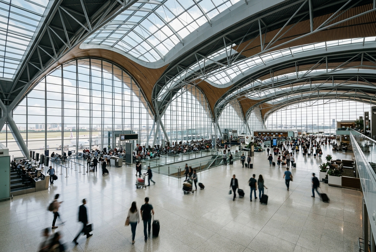
Keetmanshoop Airport Regional Airport illustrationRegional Airport
Airports
KMPmedium airport

Keetmanshoop Airport

Keetmanshoop, Namibia
Explore Keetmanshoop city guide Navigate to this airport
0
Routes out
0
Destinations
FYKT
ICAO
3506 ft
Elevation
AirlinesAirports profile

Southern Namibia's gateway serving the Karas Region.

Location
Keetmanshoop, Namibia
Keetmanshoop Airport (IATA: KMP, ICAO: FYKT) is a regional airport serving the town of Keetmanshoop, the administrative capital of the Karas Region in southern Namibia. It provides essential air connectivity for a remote area largely reliant on road transport across vast distances. The airport handles light and regional traffic, primarily connecting Keetmanshoop with Windhoek and other Namibian destinations. Its facilities are modest, reflecting the relatively small population and traffic volumes of the surrounding region. Keetmanshoop serves as an important hub for travelers exploring the southern Namibian interior, including the Fish River Canyon, one of Africa's largest canyons and a major tourist attraction in the area.
Terminals
The airport has a single small terminal building suited to regional and light aviation traffic.
Getting to & from
Ground transport between the airport and Keetmanshoop town center is primarily by taxi or private vehicle, as no regular bus service is established.
Airlines here
Air Namibia historically served the airport with regional connections, though scheduled service has been limited following the airline's liquidation in 2021.
Notable facts
  • ›Located approximately 5 kilometers from Keetmanshoop town center.
  • ›Serves as a gateway to Fish River Canyon, one of the world's largest canyons.
  • ›The airport primarily handles light general aviation and charter flights.
  • ›Keetmanshoop is a key stopover town on the B1 highway between Windhoek and South Africa.
  • ›The Karas Region is Namibia's southernmost and largest region by area.
This profile is provided for general information only. Details may be inaccurate or outdated — always verify with the airport's official website before acting on them.

Airlines serving this airport

No scheduled airline data available.

Routes

No route data available.

Hotels near KMP

Pick what matters for your layover or early flight, then compare on your favorite booking site.

Compare stays for your dates

AirlinesAirports may receive compensation when you book or purchase through some of the links on this page, at no additional cost to you. Prices and availability are set by the booking provider and may change. We never share your private trip details with partners — only the destination, dates and party size you searched.

City & Place Guide

Gateway to Namibia's quiver tree country and southern desert landscapes.

Keetmanshoop is a quiet regional capital in southern Namibia, situated about 500 km south of Windhoek in the Karas Region. Founded by the Rhenish Missionary Society in the 19th century, the town retains colonial-era architecture alongside a relaxed, unhurried atmosphere that serves as a practical base for exploring the surrounding desert.

The area is most famous for the otherworldly Quiver Tree Forest and the eerie Giant's Playground, two natural landmarks that draw photographers and nature lovers from around the world. Despite its modest size, Keetmanshoop offers essential amenities, comfortable guesthouses, and a genuine sense of Namibian small-town life.

  • •Quiver Tree Forest — iconic grove of ancient aloe dichotoma trees, best at sunset.
  • •Giant's Playground — surreal field of stacked dolerite boulders on a private farm.
  • •Naute Recreation Resort — scenic dam popular for birdwatching and water activities.
  • •Rhenish Mission Church Museum — 1895 colonial church housing local historical exhibits.
  • •Mesosaurus Fossil Site — rare Permian-era reptile fossils embedded in exposed rock.
  • •Schützenhaus — restored 1914 building offering a glimpse of colonial social history.

Getting around: Keetmanshoop is compact enough to explore on foot in the town center, but a rental car is strongly recommended for reaching outlying attractions like the Quiver Tree Forest and Giant's Playground. Local taxis are available for short trips within town, and intercape buses connect the town to Windhoek and the South African border. There is no rideshare service, and the railway line through town offers limited passenger service.

Best time: May through September, the dry winter months, offer the most comfortable temperatures and clearest skies for stargazing and nature photography.

Local food: Look for traditional Namibian braai (barbecue) featuring game meats such as oryx and kudu, along with simple Afrikaner staples like potjiekos stew served at local guesthouses and roadside stops.

This guide is provided for general information only. Verify details locally before making travel decisions.

Passport, Visa & Immigration

Flying internationally via KMP? Check entry, transit and customs requirements for Namibia from official government sources.

Keetmanshoop Airport
Encyclopaedia

Keetmanshoop Airport is an airport serving Keetmanshoop, a town in the ǁKaras Region to the south of Namibia. The airport is located about 5 km (3 mi) northwest of the town. It has customs and immigration services and is home to the Namibia Aviation Training Academy (NATA).

Read full article on Wikipedia

Entity data from open aviation datasets (OurAirports, OpenFlights) with AI-assisted editorial clearly marked. Always confirm time-sensitive details with the official airport website. Sources & verification