
AirlinesAirports.com
Travel planning byTravelerPulse.pro
Carlos Rovirosa Pérez International Airport International Hub illustrationInternational Hub
Airports
VSAlarge airport

Carlos Rovirosa Pérez International Airport

Villahermosa, Mexico
Explore Villahermosa city guide Navigate to this airport
13
Routes out
8
Destinations
MMVA
ICAO
46 ft
Elevation
AirlinesAirports profile

Gateway to Tabasco's oil capital and jungle heartland.

Opened
1965
Location
Villahermosa, Mexico
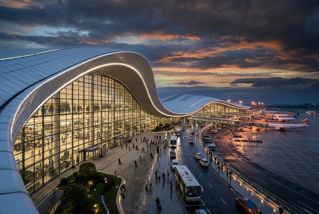
Carlos Rovirosa Pérez International Airport serves Villahermosa, the capital of the Mexican state of Tabasco, located in the southeastern Gulf Coast region of Mexico. Named after a prominent Mexican aviation pioneer, the airport acts as a key hub for travel to one of Mexico's most important petroleum-producing regions. The airport handles a moderate volume of domestic traffic and some international services, connecting Villahermosa to major Mexican cities including Mexico City, Monterrey, and Guadalajara. Its role as a gateway to the oil industry makes it a significant facility for business travel, with Petróleos Mexicanos (Pemex) operations drawing considerable passenger traffic. The facility is operated under the ASA (Aeropuertos y Servicios Auxiliares) network and has undergone modernization efforts to improve passenger capacity and services to meet growing regional demand.
Terminals
The airport operates with a single passenger terminal handling both domestic and international arrivals and departures.
Getting to & from
Ground transportation options include taxis, private shuttles, and car rentals connecting the airport to downtown Villahermosa, approximately 12 kilometers away.
Airlines here
Major carriers serving the airport include Aeroméxico, Volaris, and VivaAerobus, primarily offering domestic routes within Mexico.
Notable facts
  • ›Named after Carlos Rovirosa Pérez, a pioneering Mexican aviator from Tabasco born in 1895.
  • ›Serves as a critical hub for workers in Mexico's petroleum industry, particularly Pemex operations in Tabasco.
  • ›Located at an elevation of approximately 46 feet (14 meters) above sea level.
  • ›The IATA code VSA is derived from Villahermosa, Tabasco's capital city.
  • ›Tabasco is one of Mexico's leading oil-producing states, significantly influencing the airport's passenger profile.
This profile is provided for general information only. Details may be inaccurate or outdated — always verify with the airport's official website before acting on them.
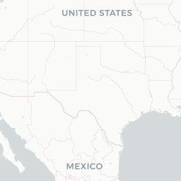
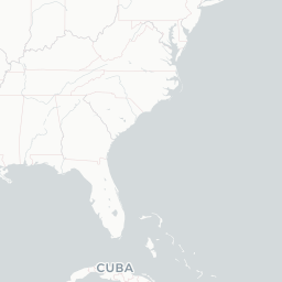
Route map (8 destinations)

Leaflet © OpenStreetMap © CARTO

Routes

VSA → MEX4O · 320
VSA → MID7M · D28
VSA → VER7M · D28
VSA → MIDAM · AT7
VSA → PAZAM · ATR
VSA → VERAM · AT7
VSA → MEXAM · 737 EMJ ERJ E70
VSA → MEXDL · 737
VSA → IAHUA · CR7
VSA → GDLVB · 733
VSA → PAZVW · ATR
VSA → MTYVB · 733
VSA → CUNVB · 733
Hotels near VSA

Pick what matters for your layover or early flight, then compare on your favorite booking site.

Compare stays for your dates

AirlinesAirports may receive compensation when you book or purchase through some of the links on this page, at no additional cost to you. Prices and availability are set by the booking provider and may change. We never share your private trip details with partners — only the destination, dates and party size you searched.

City & Place Guide

Gateway to the Olmec heartland and lush Tabasco jungle

Villahermosa is the capital of Tabasco state in southeastern Mexico, sitting at the confluence of the Grijalva and Carrizal rivers. The city blends pre-Columbian heritage with a modern oil-industry economy, making it a lively but often overlooked destination for cultural travelers.

The steamy tropical climate keeps the city green year-round, and the surrounding wetlands and rivers give it a distinct character compared to drier Mexican cities. Visitors typically use it as a base for exploring Olmec ruins, the Usumacinta river basin, and nearby Mayan sites in Chiapas and Campeche.

  • •Parque-Museo La Venta — open-air museum displaying massive Olmec stone heads in a jungle setting
  • •Museo Regional de Antropología — thorough overview of pre-Hispanic cultures of the Gulf Coast
  • •Zona Luz — pedestrian historic center with colonial architecture and riverside promenades
  • •Parque Tomás Garrido Canabal — lakeside park ideal for walking and birdwatching
  • •Centro de Investigación de las Culturas Olmeca y Maya (CICOM) — research complex and cultural center on the Grijalva riverbank
  • •Laguna de las Ilusiones — urban lake habitat with crocodiles and water birds

Getting around: Villahermosa has no urban rail; the main options are local buses, shared combis (minivans), taxis, and app-based rideshares like Uber and InDriver, which are widely available and affordable. Rental cars are practical for day trips to ruins outside the city.

Best time: Visit between November and February for cooler, drier weather, as the rest of the year brings intense heat and heavy rainfall.

Local food: Try pejelagarto (alligator gar fish) grilled or in stew, tamales de chipilín, puchero de res, and the region's celebrated cacao-based drinks and chocolate products.

This guide is provided for general information only. Verify details locally before making travel decisions.

Passport, Visa & Immigration

Flying internationally via VSA? Check entry, transit and customs requirements for Mexico from official government sources.

Villahermosa International Airport
Encyclopaedia

Villahermosa International Airport ; officially known as Aeropuerto Internacional Carlos Rovirosa Pérez (Carlos Rovirosa Pérez International Airport) is an international airport located in Villahermosa, Tabasco, Mexico. It serves the Metropolitan Area of Villahermosa, the entire State of Tabasco, and Northern Chiapas. The airport offers domestic flights within Mexico and supports various tourism, flight training, and general aviation activities. It is named in honor of Carlos Rovirosa Pérez, a pioneer of Mexican aviation, who was born in Villahermosa. The airport is operated by Grupo Aeroportuario del Sureste (ASUR). In 2024, the airport handled 1,481,067 passengers, and in 2025, it served 1,447,408 passengers, a decrease of 2.3% according to ASUR.

Read full article on Wikipedia

Entity data from open aviation datasets (OurAirports, OpenFlights) with AI-assisted editorial clearly marked. Always confirm time-sensitive details with the official airport website. Sources & verification