
AirlinesAirports.com
Travel planning byTravelerPulse.pro
Serafin Enoss Bertaso Airport Coastal & Island Airport illustrationCoastal & Island Airport
Airports
XAPmedium airport

Serafin Enoss Bertaso Airport

Chapecó, Brazil
Explore Chapecó city guide Navigate to this airport
5
Routes out
4
Destinations
SBCH
ICAO
2154 ft
Elevation
AirlinesAirports profile

Gateway to Brazil's dynamic Santa Catarina agribusiness heartland.

Opened
1959
Location
Chapecó, Brazil
Serafin Enoss Bertaso Airport (IATA: XAP, ICAO: SBCH) serves Chapecó, a major city in the western part of the state of Santa Catarina, Brazil. The airport is named after Serafim Enoss Bertaso, a pioneering colonizer who played a key role in the settlement and development of the Chapecó region in the early 20th century. The airport handles both domestic passenger flights and cargo operations, primarily connecting Chapecó to São Paulo and other major Brazilian cities. It serves a region known for its strong agribusiness sector, including the headquarters of major food companies such as Aurora and BRF. In recent years, the airport has undergone infrastructure improvements to accommodate growing passenger demand. It is operated under Brazilian federal airport authority oversight and represents an important transport hub for the western Santa Catarina region.
Terminals
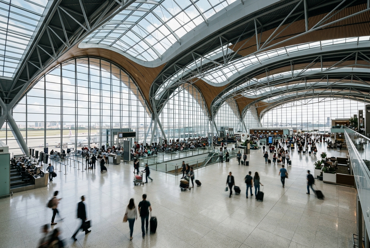
The airport operates a single passenger terminal handling domestic flights.
Getting to & from
Ground transport options include taxis and rental car services connecting the airport to central Chapecó, approximately 5 kilometers away.
Airlines here
LATAM Airlines and Gol Linhas Aéreas are among the primary carriers serving the airport with domestic routes.
Notable facts
  • ›Named after Serafim Enoss Bertaso, a key colonizer of the Chapecó region.
  • ›Located in western Santa Catarina, one of Brazil's most productive agribusiness regions.
  • ›The airport serves a city home to major food industry giants including BRF and Aurora Alimentos.
  • ›Primarily handles domestic routes connecting to São Paulo–Guarulhos and São Paulo–Congonhas.
  • ›The region around Chapecó has a strong Italian and German immigrant heritage influencing local culture.
This profile is provided for general information only. Details may be inaccurate or outdated — always verify with the airport's official website before acting on them.

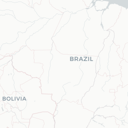
Route map (4 destinations)

Leaflet © OpenStreetMap © CARTO

Routes

XAP → VCPAD · AT7 E95
XAP → POAAD · AT7
XAP → FLNG3 · 73G
XAP → CWBNHG · L4T
XAP → FLNO6 · 318
Hotels near XAP

Pick what matters for your layover or early flight, then compare on your favorite booking site.

Compare stays for your dates

AirlinesAirports may receive compensation when you book or purchase through some of the links on this page, at no additional cost to you. Prices and availability are set by the booking provider and may change. We never share your private trip details with partners — only the destination, dates and party size you searched.

City & Place Guide

Gateway to southern Brazil's agricultural heartland and vibrant culture.

Chapecó is a mid-sized city in the western part of Santa Catarina state, known as the economic and cultural hub of the Oeste Catarinense region. Founded primarily by descendants of Italian and German immigrants, the city blends European heritage with a distinctly Brazilian energy, reflected in its lively festivals, regional cuisine, and strong agribusiness sector.

The city gained international attention following the tragic 2016 Chapecoense football club plane crash, after which an outpouring of global solidarity highlighted Chapecó's deep passion for football. Today the club and its memorial stand as symbols of resilience. Visitors will find a welcoming, authentic Brazilian city without the tourist crowds typical of larger destinations.

  • •Arena Condá — home stadium of Chapecoense football club and site of emotional tributes to the 2016 tragedy.
  • •Parque Ecológico Chapecó — urban nature park with trails, wildlife, and a lake ideal for relaxing walks.
  • •Catedral Santo Antônio — striking downtown cathedral and a central landmark of the city's Catholic heritage.
  • •Mercado Municipal — bustling public market showcasing regional produce, cheeses, salami, and local crafts.
  • •Monumento ao Caboclo — iconic statue honoring the indigenous and mixed-heritage pioneers of the region.
  • •Parque das Palmeiras — leafy city park popular with families, joggers, and weekend picnickers.

Getting around: Chapecó has a functional urban bus network that covers most neighborhoods at low cost. Taxis are widely available, and app-based rideshares such as Uber and 99 operate throughout the city. There is no urban rail; for intercity travel, the long-distance bus terminal connects Chapecó to Florianópolis, Porto Alegre, and other regional cities. Renting a car is practical for exploring the surrounding countryside.

Best time: April through June offers mild temperatures, lower humidity, and fewer rains, making it the most comfortable time to visit.

Local food: Try colonial-style churrasco, homemade salami and cheese from Italian-descended producers, galinhada, and freshly baked cuca cake paired with chimarrão, the region's beloved mate tea.

This guide is provided for general information only. Verify details locally before making travel decisions.

Passport, Visa & Immigration

Flying internationally via XAP? Check entry, transit and customs requirements for Brazil from official government sources.

Chapecó Airport
Encyclopaedia

Serafin Enoss Bertaso Airport is the airport serving Chapecó, Brazil.

Read full article on Wikipedia

Entity data from open aviation datasets (OurAirports, OpenFlights) with AI-assisted editorial clearly marked. Always confirm time-sensitive details with the official airport website. Sources & verification