AirlinesAirports.com
Travel planning byTravelerPulse.pro
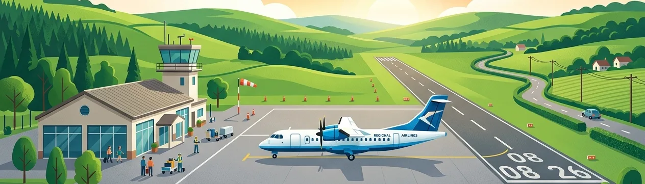
Wetherbee Farm Airport Regional Airport illustrationRegional Airport
Airports
small airport

Wetherbee Farm Airport

Tenney, United States
Explore Tenney city guide Navigate to this airport
0
Routes out
0
Destinations
1MN0
ICAO
980 ft
Elevation
AirlinesAirports profile

Private farm airstrip in rural Tenney, Minnesota.

Location
Tenney, United States
Wetherbee Farm Airport (1MN0) is a privately owned general aviation airstrip located in Tenney, Wilkin County, Minnesota, United States. It serves as a personal or agricultural-use facility typical of small farm airports found throughout the rural Midwest. The airport is not open to the public and has no scheduled commercial airline service. It exists primarily to support private flight operations associated with the surrounding farmland and property.
Notable facts
  • ›Designated with the FAA identifier 1MN0.
  • ›Privately owned and operated; not open to the public.
  • ›Located in Wilkin County, Minnesota, near the North Dakota border.
  • ›Typical small farm airstrip with no public facilities.
  • ›No IATA or ICAO code assigned.
This profile is provided for general information only. Details may be inaccurate or outdated — always verify with the airport's official website before acting on them.

Airlines serving this airport

No scheduled airline data available.

Routes

No route data available.

Hotels near Wetherbee Farm Airport

Pick what matters for your layover or early flight, then compare on your favorite booking site.

Compare stays for your dates

AirlinesAirports may receive compensation when you book or purchase through some of the links on this page, at no additional cost to you. Prices and availability are set by the booking provider and may change. We never share your private trip details with partners — only the destination, dates and party size you searched.

City & Place Guide

Tiny Prairie Town on the Minnesota-North Dakota Border

Tenney is one of the smallest incorporated cities in the United States, located in Wilkin County in western Minnesota near the North Dakota border. With a population that has historically hovered in the single digits, it offers a rare glimpse into the quietly fading world of tiny American prairie towns.

The flat, expansive landscape surrounding Tenney is defined by vast agricultural fields, wide open skies, and the slow rhythm of rural Midwestern life. Visitors curious about extreme small-town America, ghost town aesthetics, or the agricultural heartland will find Tenney a genuinely unique and contemplative stop.

Nearby Breckenridge serves as the closest service hub, offering restaurants, fuel, and lodging just a short drive away. Tenney itself has virtually no tourist infrastructure, making it best suited as a quick detour or quirky road-trip landmark.

  • •Tenney Town Sign — iconic photo stop marking one of America's tiniest cities.
  • •Wilkin County Prairie Views — sweeping flatland scenery ideal for photography and reflection.
  • •Red River Valley Corridor — scenic agricultural drive connecting small border communities.
  • •Breckenridge Historic Downtown — nearby town with local shops and small-town character.
  • •Wahpeton (ND) — close cross-border city with museums and the Chahinkapa Zoo.
  • •Local Grain Elevators — towering rural landmarks defining the prairie skyline.

Getting around: There is no public transportation, rail service, rideshare, or taxi infrastructure in or near Tenney. A personal vehicle is absolutely essential for visiting. The nearest Amtrak service runs through Fargo, North Dakota, roughly 45 miles to the north.

Best time: Late spring through early fall (May–September) offers the most pleasant weather and passable road conditions across the prairie.

Local food: Visit nearby Breckenridge or Wahpeton for classic Midwestern comfort food including hot dishes, lefse, and locally sourced beef at small family diners.

This guide is provided for general information only. Verify details locally before making travel decisions.

Latest news

No recent news found.

Entity data from open aviation datasets (OurAirports, OpenFlights) with AI-assisted editorial clearly marked. Always confirm time-sensitive details with the official airport website. Sources & verification