
AirlinesAirports.com
Powered by Google TranslateTranslate
Travel planning byTravelerPulse.pro
Ağrı Airport Regional Airport illustrationRegional Airport
Airports
AJImedium airport

Ağrı Airport

Ağrı, Turkey
Explore Ağrı city guide Navigate to this airport
2
Routes out
2
Destinations
LTCO
ICAO
5462 ft
Elevation
AirlinesAirports profile

Gateway to eastern Turkey and the slopes of Mount Ararat.

Opened
2009
Location
Ağrı, Turkey
Ağrı Airport (IATA: AJI, ICAO: LTCO) is a domestic airport serving the city of Ağrı in far eastern Turkey, situated near the iconic Mount Ararat, Turkey's highest peak. The airport provides essential air connectivity for a region that is otherwise relatively remote and reliant on long overland journeys to reach major Turkish cities. The facility is operated under the authority of the Turkish State Airports Authority (DHMİ) and primarily handles domestic flights connecting Ağrı to Istanbul and Ankara. Traffic volumes are modest, reflecting the relatively small population of the surrounding province. Ağrı province is known for its rugged landscape, harsh winters, and proximity to the Iranian and Armenian borders, making reliable air service particularly important for residents and government officials in the area.
Terminals
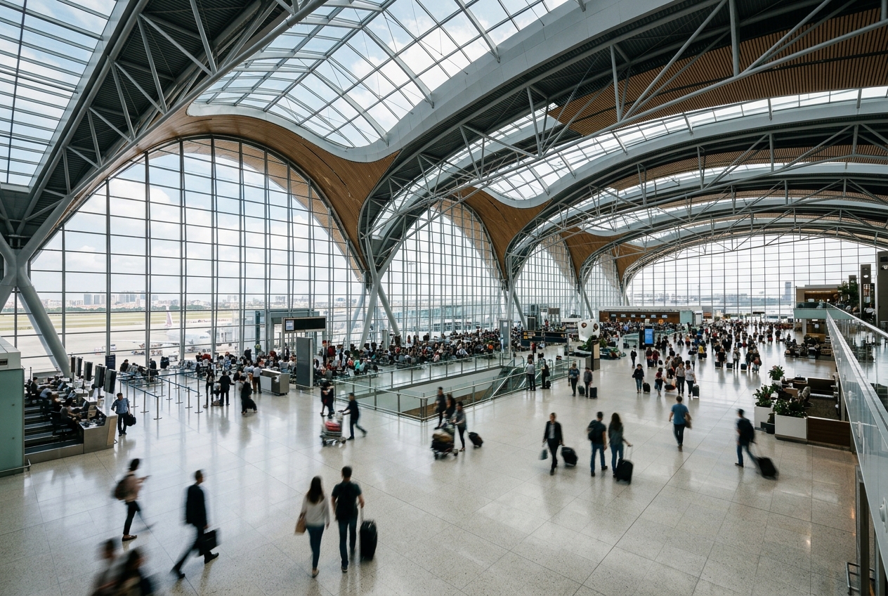
The airport has a single small passenger terminal designed to handle domestic traffic at low to moderate volumes.
Getting to & from
Ground transport between the airport and Ağrı city center is available via taxis and minibuses, with the city located approximately 10 kilometres from the terminal.
Airlines here
Turkish Airlines and its low-cost subsidiary AnadoluJet operate the primary domestic routes from Ağrı Airport.
Notable facts
  • ›The airport sits at an elevation of approximately 1,632 metres (5,354 feet) above sea level.
  • ›It is one of the highest-elevation airports in Turkey.
  • ›The airport serves a province bordering both Iran and Armenia.
  • ›Mount Ararat, at 5,137 metres, is visible from the airport on clear days.
  • ›DHMİ (General Directorate of State Airports Authority) manages airport operations.
This profile is provided for general information only. Details may be inaccurate or outdated — always verify with the airport's official website before acting on them.
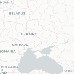
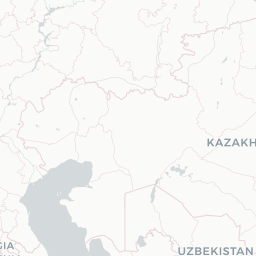
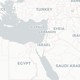
Route map (2 destinations)

Leaflet © OpenStreetMap © CARTO

Airlines serving this airport

Routes

AJI → ESBTK · 73W
AJI → ISTTK · 738

Aircraft operating here

Hotels near AJI

Pick what matters for your layover or early flight, then compare on your favorite booking site.

Compare stays for your dates

AirlinesAirports may receive compensation when you book or purchase through some of the links on this page, at no additional cost to you. Prices and availability are set by the booking provider and may change. We never share your private trip details with partners — only the destination, dates and party size you searched.

City & Place Guide

Gateway to Mount Ararat, where legend and landscape collide.

Ağrı is a rugged provincial city in far eastern Turkey, set against the dramatic backdrop of Mount Ararat (Ağrı Dağı), Turkey's highest peak at 5,137 meters. The city sits on the high Anatolian plateau near the borders of Iran and Armenia, giving it a remote, frontier character that appeals to adventurous travelers.

The region is historically significant as the legendary resting place of Noah's Ark, drawing pilgrims, trekkers, and curious visitors alike. While the city center itself is modest, the surrounding landscapes — sweeping volcanic plains, ancient ruins, and stark mountain scenery — reward those who make the journey.

Ğrı has a predominantly Kurdish population and offers an authentic, off-the-beaten-path glimpse into rural eastern Turkish life. Infrastructure is basic but functional, and hospitality from locals is genuine and warm.

  • •Mount Ararat — iconic, snow-capped volcano and legendary Noah's Ark resting place worth climbing with a guide.
  • •İshak Paşa Palace — stunning 18th-century Ottoman-Persian palace carved into cliffs near Doğubayazıt.
  • •Doğubayazıt — nearby district town serving as the main base for Ararat trekking excursions.
  • •Ağrı Plain — vast volcanic landscape offering sweeping views and unique high-plateau scenery.
  • •Diyadin Hot Springs — thermal baths near Diyadin district, relaxing after mountain hikes.
  • •Murat River Valley — scenic gorge and waterway cutting through the plateau with dramatic vistas.

Getting around: Ağrı has no rail connections; intercity buses and minibuses (dolmuş) are the primary way to reach and move around the city. Dolmuş routes connect Ağrı to nearby towns like Doğubayazıt and Diyadin. Taxis are readily available in the city center and are inexpensive by Western standards. Rideshare apps like BiTaksi may have limited coverage, so taxis negotiated directly are your safest bet. Renting a car from Erzurum or Van gives the most flexibility for exploring remote sights.

Best time: Late spring (May–June) and early autumn (September) offer the most comfortable temperatures and are the best windows for trekking Mount Ararat before summer heat and winter snow extremes set in.

Local food: Try kuzu tandır (slow-roasted lamb), kavurma (pan-fried cured meat), and locally baked lavaş bread, all staples of the eastern Anatolian diet commonly found at simple family-run lokanta restaurants throughout the city.

This guide is provided for general information only. Verify details locally before making travel decisions.

Passport, Visa & Immigration

Flying internationally via AJI? Check entry, transit and customs requirements for Turkey from official government sources.

Ağrı Airport
Encyclopaedia

Ağrı Ahmed-i Hani Airport is an airport in Ağrı, in eastern Turkey. The airport is situated about 8 km (5.0 mi) south of Ağrı's city center.

Read full article on Wikipedia

Latest news

No recent news found.

Entity data from open aviation datasets (OurAirports, OpenFlights) with AI-assisted editorial clearly marked. Always confirm time-sensitive details with the official airport website. Sources & verification