AirlinesAirports.com
Travel planning byTravelerPulse.pro
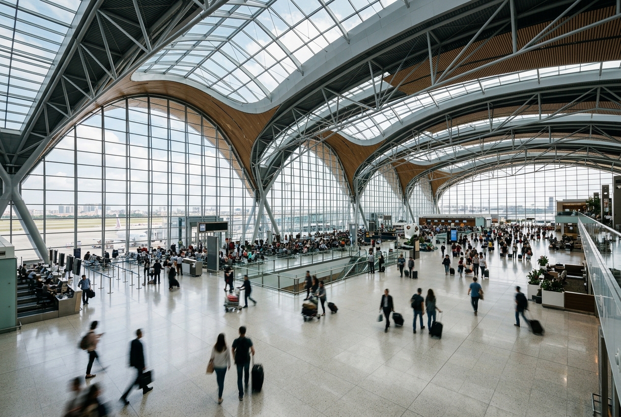
Rick Husband Amarillo International Airport Regional Airport illustrationRegional Airport
Airports
AMAmedium airport

Rick Husband Amarillo International Airport

Amarillo, United States
Explore Amarillo city guide Navigate to this airport
10
Routes out
6
Destinations
KAMA
ICAO
3607 ft
Elevation
AirlinesAirports profile

Texas Panhandle's primary commercial gateway serving Amarillo.

Opened
1942
Location
Amarillo, United States
Rick Husband Amarillo International Airport is the primary commercial service airport serving Amarillo, Texas, and the surrounding Texas Panhandle region. It is named after Colonel Rick Husband, a native of Amarillo who commanded the Space Shuttle Columbia on its final mission in 2003. The airport handles both commercial passenger flights and significant general aviation and cargo operations, reflecting the economic activity of the agricultural and energy-rich Panhandle region. It sits at an elevation of approximately 3,607 feet above sea level on the high plains of the Texas Panhandle. AMA serves as an important regional hub connecting the Panhandle to major airline hubs including Dallas/Fort Worth, Denver, Houston, and Phoenix, providing residents access to nationwide destinations through connecting flights.
Terminals
The airport has a single terminal building with multiple gates serving commercial passenger operations.
Getting to & from
Ground transportation options include rental cars, taxis, rideshare services, and hotel shuttles connecting the airport to downtown Amarillo, approximately 8 miles away.
Airlines here
Major airlines serving AMA include American Airlines, Southwest Airlines, United Airlines, and Allegiant Air.
Notable facts
  • ›Named after Colonel Rick Husband, commander of Space Shuttle Columbia's STS-107 mission in 2003.
  • ›Sits at an elevation of approximately 3,607 feet above mean sea level on the Texas High Plains.
  • ›The airport's origins trace to a World War II military airfield established in the early 1940s.
  • ›Serves as the largest commercial airport in the Texas Panhandle region.
  • ›The airport also supports military and cargo operations alongside commercial passenger service.
This profile is provided for general information only. Details may be inaccurate or outdated — always verify with the airport's official website before acting on them.

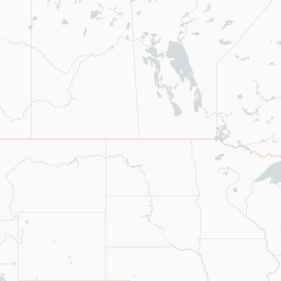
Route map (6 destinations)

Leaflet © OpenStreetMap © CARTO

Routes

AMA → DFWAA · ER4 CRJ ERD
AMA → DALFL · 735 73W
AMA → DENFL · 735
AMA → MDWFL · 73W
AMA → IAHUA · ERJ
AMA → DENUA · ERJ
AMA → DFWUS · ER4
AMA → DALWN · 735 733 73W 73C
AMA → LASWN · 735 733
AMA → DENWN · 735 73W
Hotels near AMA

Pick what matters for your layover or early flight, then compare on your favorite booking site.

Compare stays for your dates

AirlinesAirports may receive compensation when you book or purchase through some of the links on this page, at no additional cost to you. Prices and availability are set by the booking provider and may change. We never share your private trip details with partners — only the destination, dates and party size you searched.

City & Place Guide

Where the Texas Panhandle meets wide-open skies and Route 66

Amarillo is a mid-sized city in the Texas Panhandle, sitting at the crossroads of historic Route 66 and Interstate 40. Known for its expansive plains, dramatic canyon scenery, and Western heritage, the city offers a distinctive blend of cowboy culture and quirky roadside Americana.

The surrounding landscape is surprisingly diverse, with Palo Duro Canyon just a short drive away offering colorful cliffs and hiking trails. Downtown Amarillo has revitalized its historic district along 6th Avenue, featuring antique shops, local restaurants, and live music venues that give the city genuine character.

  • •Cadillac Ranch — iconic public art installation of half-buried Cadillacs along Route 66
  • •Palo Duro Canyon State Park — the 'Grand Canyon of Texas' with hiking, riding, and dramatic scenery
  • •Amarillo Botanical Gardens — a peaceful green oasis in the heart of the city
  • •American Quarter Horse Hall of Fame & Museum — celebrates the breed central to Western ranching heritage
  • •Historic Route 66 (6th Avenue) — walkable strip of antique shops, murals, and local eateries
  • •Panhandle-Plains Historical Museum — largest history museum in Texas covering Plains culture and geology

Getting around: Amarillo is very much a car-centric city, and renting a vehicle is strongly recommended for exploring both downtown and outlying attractions. Uber and Lyft operate throughout the city, and Amarillo City Transit provides limited bus service on fixed routes. Taxis are available but sparse, and there is no passenger rail service connecting the city.

Best time: Spring (April–May) and fall (September–October) offer the most pleasant temperatures, avoiding the intense summer heat and occasional winter ice storms.

Local food: Don't miss a 72-ounce steak challenge at the Big Texan Steak Ranch, along with authentic Texas barbecue, chicken-fried steak, and locally beloved green-chile dishes influenced by nearby New Mexico.

This guide is provided for general information only. Verify details locally before making travel decisions.

Passport, Visa & Immigration

Flying internationally via AMA? Check entry, transit and customs requirements for United States from official government sources.

Rick Husband Amarillo International Airport
Encyclopaedia

Rick Husband Amarillo International Airport is a public airport six miles (10 km) east of downtown Amarillo, in Potter County, Texas, United States. The airport was renamed in 2003 after NASA astronaut and Amarillo native Rick Husband, who died in the Space Shuttle Columbia disaster in February of that year.

Read full article on Wikipedia

Entity data from open aviation datasets (OurAirports, OpenFlights) with AI-assisted editorial clearly marked. Always confirm time-sensitive details with the official airport website. Sources & verification