Translate

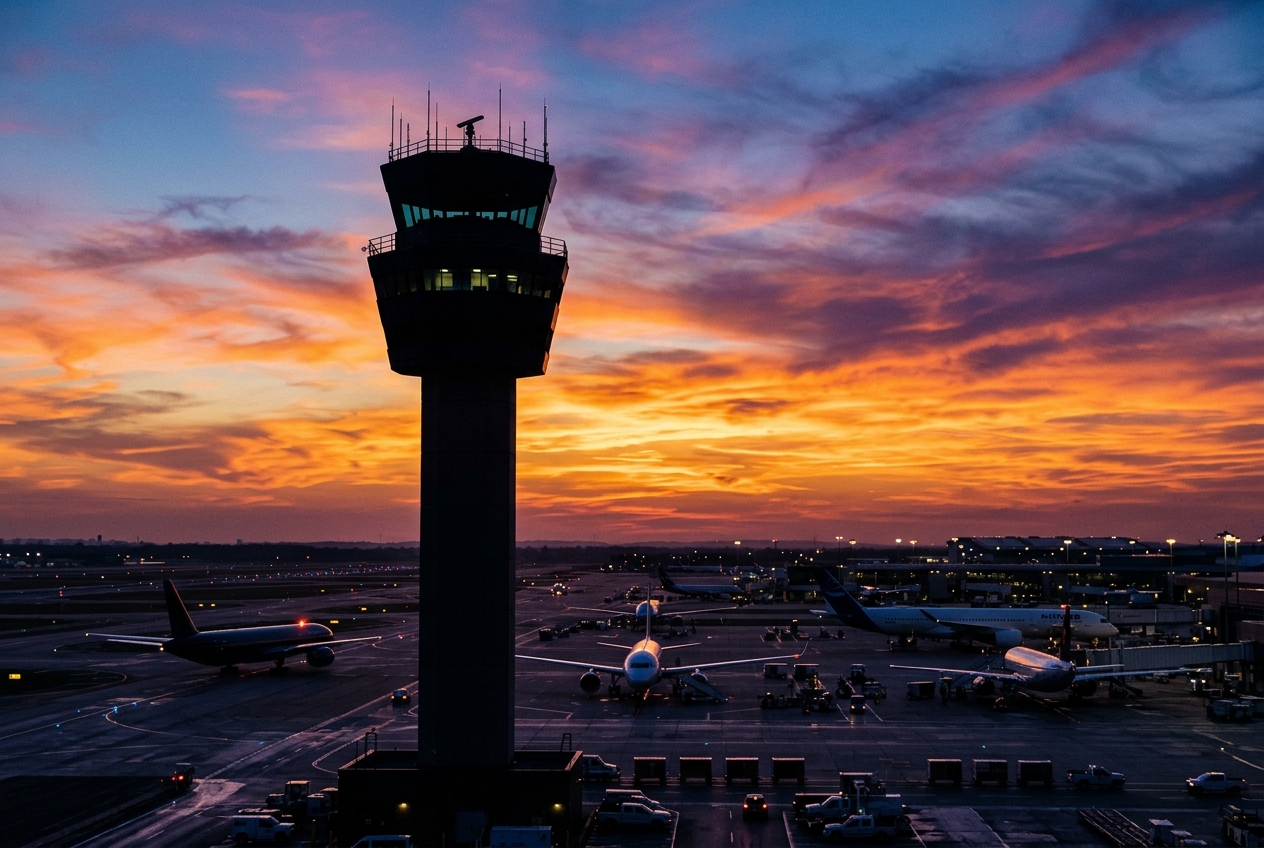
Gateway to Amboseli National Park and Mount Kilimanjaro views.
Location
Ol Tukai, Kenya
Amboseli Airport (IATA: ASV, ICAO: HKAM) is a small domestic airport located near Ol Tukai in southern Kenya, serving as the primary air access point for Amboseli National Park. The airport sits at an elevation of approximately 3,755 feet (1,145 meters) above sea level, close to the Tanzanian border and within sight of Mount Kilimanjaro on clear days.
The airport primarily handles light aircraft and scheduled regional flights connecting Amboseli to Nairobi and other Kenyan safari destinations. It is a critical hub for wildlife tourism, enabling visitors to access one of Kenya's most famous national parks, renowned for its large elephant herds and iconic Kilimanjaro backdrops.
Facilities are basic and suited to a bush airstrip environment, catering mainly to tourist traffic rather than commercial aviation on a larger scale. Ground handling is minimal, reflecting the airport's role as a remote safari gateway.
Terminals
The airport has a single small terminal building with basic facilities suited to light tourist and charter traffic.
Getting to & from
Ground transport from the airport consists mainly of lodge and camp transfers arranged by tour operators, as public transport options are very limited in this remote area.
Airlines here
Airlines serving Amboseli include Safarilink Aviation and AirKenya Express, offering scheduled flights primarily to Wilson Airport in Nairobi.
Notable facts
- ›Located within or adjacent to Amboseli National Park, one of Kenya's most visited wildlife reserves.
- ›Mount Kilimanjaro, Africa's highest peak, is visible from the airport on clear days.
- ›The airport primarily serves safari tourists rather than general commercial passengers.
- ›Elevation is approximately 3,755 feet (1,145 meters) above sea level.
- ›Runway surface is unpaved, typical of bush airstrips in Kenya's national park regions.
This profile is provided for general information only. Details may be inaccurate or outdated — always verify with the airport's official website before acting on them.