

AirlinesAirports.com
Fourni par Google TraductionTraduction
Travel planning byTravelerPulse.pro
Westfield-Barnes Regional Airport Regional Airport illustrationRegional Airport
Airports
BAFmedium airport

Westfield-Barnes Regional Airport

Westfield, United States
Explore Westfield city guide Navigate to this airport
0
Routes out
0
Destinations
KBAF
ICAO
271 ft
Elevation
AirlinesAirports profile

Western Massachusetts regional airport serving civilian and military aviation.

Opened
1941
Location
Westfield, United States
Westfield-Barnes Regional Airport (BAF/KBAF) is a public-use airport located in Westfield, Massachusetts, in the Pioneer Valley region of western Massachusetts. It is owned and operated by the Westfield-Barnes Regional Airport Authority and serves both general aviation and limited commercial traffic. The airport shares its facilities with the 104th Fighter Wing of the Massachusetts Air National Guard, which operates F-15 Eagles from the site, making it a joint civil-military airfield. Its origins trace back to the 1930s when it was developed as a military training base. The airport has periodically attracted commercial airline service, though scheduled passenger service has been intermittent over the years. It continues to serve as an important general aviation reliever airport for the Springfield-Holyoke metropolitan area.
Terminals
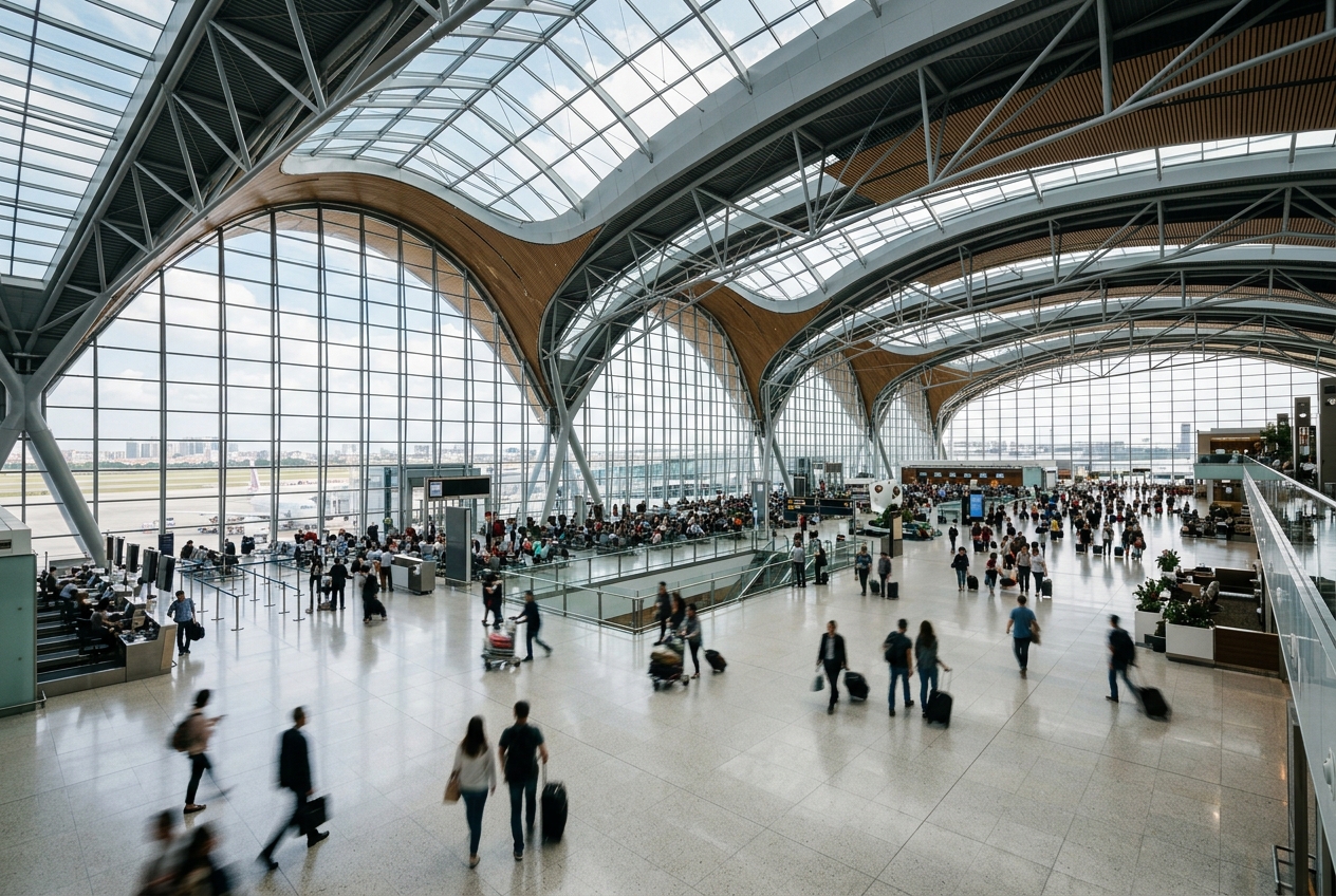
The airport has a small terminal building designed to accommodate limited commercial and general aviation passenger operations.
Getting to & from
Ground access to the airport is primarily by personal vehicle or taxi, with limited public transportation options connecting to downtown Westfield and the greater Springfield area.
Airlines here
Scheduled commercial airline service at BAF has been limited and intermittent, with no major airlines consistently operating at the airport in recent years.
Notable facts
  • ›Home to the 104th Fighter Wing of the Massachusetts Air National Guard, which flies F-15 Eagles.
  • ›The airport was originally established as a U.S. Army Air Forces training facility during World War II.
  • ›It covers approximately 2,000 acres, giving it a large footprint relative to its commercial traffic.
  • ›The airport is situated roughly 10 miles west of Springfield, Massachusetts.
  • ›It serves as an important general aviation reliever airport for the Springfield-Holyoke metropolitan area.
This profile is provided for general information only. Details may be inaccurate or outdated — always verify with the airport's official website before acting on them.

Airlines serving this airport

No scheduled airline data available.

Routes

No route data available.

Hotels near BAF

Pick what matters for your layover or early flight, then compare on your favorite booking site.

Compare stays for your dates

AirlinesAirports may receive compensation when you book or purchase through some of the links on this page, at no additional cost to you. Prices and availability are set by the booking provider and may change. We never share your private trip details with partners — only the destination, dates and party size you searched.

City & Place Guide

Charming New England town with history, parks, and outdoor adventure.

Westfield, Massachusetts, sits in the Pioneer Valley of western New England, roughly 10 miles west of Springfield. Known as the "Whip City" for its 19th-century buggy whip manufacturing industry, the city blends industrial heritage with a walkable downtown and access to the scenic Berkshire foothills.

Outdoor enthusiasts enjoy the nearby Westfield River, the Pequonnock Rail Trail, and Stanley Park, one of the region's most beloved green spaces. Westfield State University adds a youthful energy to this mid-sized city of about 41,000 residents.

The downtown offers local shops, casual restaurants, and historic architecture, making it a pleasant stop on a Pioneer Valley itinerary. Its location near I-90 and Route 20 makes it an easy base for exploring the wider region.

  • •Stanley Park — 300-acre park with gardens, trails, a carillon, and seasonal events.
  • •Westfield Athenaeum — historic public library with rotating cultural exhibits.
  • •Westfield River — popular for fishing, kayaking, and scenic riverside walks.
  • •New England Carousel Museum (nearby) — celebrates the region's carousel-crafting legacy.
  • •Amelia Park Ice Arena — family-friendly hub for skating and community events.
  • •Downtown Westfield — walkable streets with local shops and historic storefronts.

Getting around: Westfield is best explored by car, as it is a primarily suburban and small-city environment. Pioneer Valley Transit Authority (PVTA) buses connect Westfield to Springfield and surrounding communities. Rideshare services like Uber and Lyft operate in the area, and taxis are available but limited. Biking is feasible on local trails and quieter roads.

Best time: Late spring through early fall (May–October) offers the most pleasant weather for outdoor activities, festivals, and exploring Stanley Park.

Local food: Try classic New England comfort fare including clam chowder, lobster rolls, and hearty pub food at local taverns, alongside farm-fresh produce from Pioneer Valley farmstands.

This guide is provided for general information only. Verify details locally before making travel decisions.

Passport, Visa & Immigration

Flying internationally via BAF? Check entry, transit and customs requirements for United States from official government sources.

Westfield-Barnes Regional Airport
Encyclopaedia

Westfield-Barnes Regional Airport is a joint civil-military airport in Hampden County, Massachusetts, three miles (6 km) north of Westfield and northwest of Springfield. It was formerly Barnes Municipal Airport; the National Plan of Integrated Airport Systems for 2011–2015 categorized it as a general aviation facility. Westfield-Barnes is one of Massachusetts' largest airports with a strong flight training, general aviation, and military presence. It is also known as Barnes Air National Guard Base.

Read full article on Wikipedia

Entity data from open aviation datasets (OurAirports, OpenFlights) with AI-assisted editorial clearly marked. Always confirm time-sensitive details with the official airport website. Sources & verification