Translate

Central California's primary gateway to Yosemite and beyond.
Opened
1939
Location
Fresno, United States
Fresno Yosemite International Airport (FAT/KFAT) serves as the principal commercial airport for California's Central Valley, located approximately 4 miles northeast of downtown Fresno. It provides air service to millions of residents across the surrounding agricultural and metropolitan region.
The airport offers nonstop flights to major domestic hubs and select destinations, serving as a convenient alternative to the larger Los Angeles and San Francisco airports for Central Valley travelers. Its proximity to Yosemite National Park, Kings Canyon, and Sequoia makes it a popular entry point for tourists visiting the Sierra Nevada region.
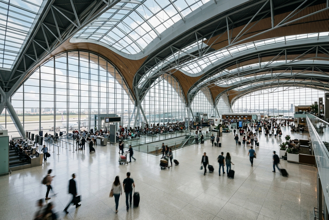
Fresno Yosemite International has undergone significant terminal modernization and expansion projects in recent years, improving passenger amenities and capacity to meet growing regional demand.
Terminals
The airport operates a single terminal building with two concourses, Concourse A and Concourse B, handling all commercial passenger traffic.
Getting to & from
Ground transportation options include rental cars, taxis, rideshare services, and hotel shuttles, with the airport located about 10 minutes from downtown Fresno via Highway 41.
Airlines here
Major airlines serving FAT include American Airlines, Delta Air Lines, Southwest Airlines, United Airlines, and Alaska Airlines, providing connections to their respective hub airports.
Notable facts
- ›The airport's name references Yosemite National Park, located roughly 60 miles to the northeast.
- ›FAT handles approximately 1.5 to 2 million passengers annually in recent years.
- ›The airport covers approximately 2,300 acres of land.
- ›It has two runways, the longest measuring 9,222 feet.
- ›A multi-year Capital Improvement Program modernized the terminal and concourses in the 2010s.
This profile is provided for general information only. Details may be inaccurate or outdated — always verify with the airport's official website before acting on them.