AirlinesAirports.com
Powered by Google TranslateTranslate
Travel planning byTravelerPulse.pro
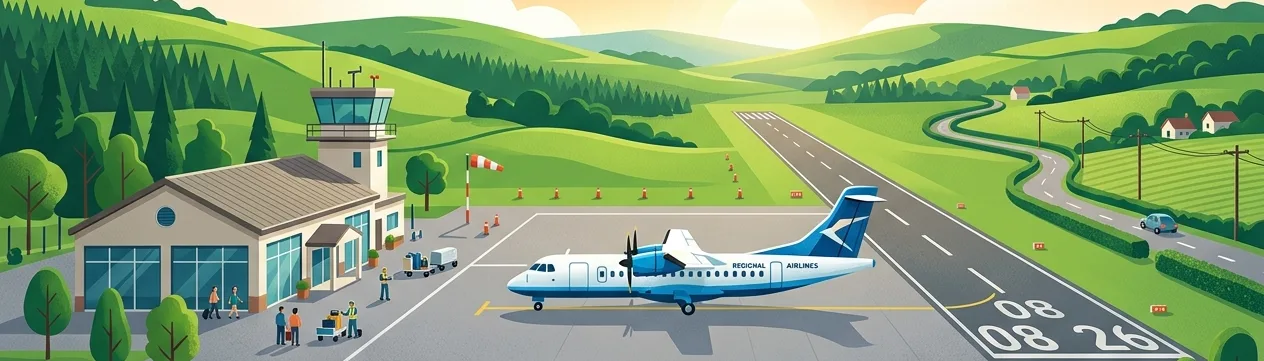
Merced Regional Macready Field Regional Airport illustrationRegional Airport
Airports
MCEmedium airport

Merced Regional Macready Field

Merced, United States
Explore Merced city guide Navigate to this airport
1
Routes out
1
Destinations
KMCE
ICAO
155 ft
Elevation
AirlinesAirports profile

Central Valley gateway serving Merced and the San Joaquin Valley.

Opened
1941
Location
Merced, United States
Merced Regional Macready Field (MCE/KMCE) is a public use airport located approximately three miles northeast of downtown Merced, California. It serves the Central Valley region and acts as a general aviation hub, with limited scheduled commercial service historically provided to connect the area to larger hub airports. The airport is named in honor of John A. Macready, a pioneering U.S. Army Air Service pilot who set multiple altitude and endurance records in the early 1920s and had connections to the Merced area. The field is owned and operated by the City of Merced. With the growth of UC Merced and the surrounding region, the airport has seen periodic interest in expanded commercial service, though it remains primarily a general aviation facility. It features a fixed base operator (FBO) and supports corporate, private, and training flights.
Terminals
The airport has a single small terminal building designed to accommodate limited commercial and general aviation passengers.
Getting to & from
Ground transportation options include taxis, rental cars, and ride-share services connecting the airport to downtown Merced and surrounding communities.
Airlines here
Scheduled commercial airline service at MCE has been limited and intermittent; no major airline currently operates regular service from the airport.
Notable facts
  • ›Named after John A. Macready, a record-setting U.S. Army Air Service pilot of the 1920s.
  • ›Located approximately 3 miles northeast of downtown Merced, California.
  • ›Serves primarily as a general aviation and training airport in the San Joaquin Valley.
  • ›Elevation is approximately 155 feet above mean sea level.
  • ›The airport has two runways supporting a variety of general aviation and occasional charter operations.
This profile is provided for general information only. Details may be inaccurate or outdated — always verify with the airport's official website before acting on them.
Route map (1 destinations)

Leaflet © OpenStreetMap © CARTO

Airlines serving this airport

Routes

MCE → LAXZK · BE1

Aircraft operating here

Hotels near MCE

Pick what matters for your layover or early flight, then compare on your favorite booking site.

Compare stays for your dates

AirlinesAirports may receive compensation when you book or purchase through some of the links on this page, at no additional cost to you. Prices and availability are set by the booking provider and may change. We never share your private trip details with partners — only the destination, dates and party size you searched.

City & Place Guide

Gateway to Yosemite with small-town California charm

Merced is a mid-sized city in California's Central Valley, best known as the western gateway to Yosemite National Park. Home to the University of California, Merced, the city blends agricultural roots with a growing academic community and a compact, walkable downtown.

Visitors often use Merced as a base for Yosemite day trips, but the city itself offers worthwhile stops including a historic courthouse, wildlife refuges, and a vibrant farmers market scene. The pace is relaxed, prices are affordable, and the locals are welcoming to travelers passing through or staying a while.

  • •Yosemite National Park — a short drive east for world-class waterfalls and scenery
  • •Merced National Wildlife Refuge — prime winter destination for sandhill cranes and geese
  • •Merced County Courthouse Museum — stunning 1875 Italianate building with local history exhibits
  • •Lake Yosemite Regional Park — popular spot for picnicking, boating, and birdwatching
  • •Applegate Park and Zoo — free small zoo beloved by families in the heart of the city
  • •UC Merced Arboretum — peaceful campus green space with native California plantings

Getting around: Amtrak's San Joaquin line stops in Merced, and YARTS bus service connects the station directly to Yosemite Valley. Within the city, The Bus (Merced County Transit) operates local routes, though a car is the most practical option for reaching wildlife refuges and surrounding areas. Rideshares like Uber and Lyft are available but can be inconsistent outside peak hours.

Best time: Spring (March through May) offers mild temperatures, wildflower blooms, and peak Yosemite waterfall flows, making it the ideal time to visit.

Local food: Sample fresh stone fruits and almonds at the downtown farmers market, and seek out authentic Mexican cuisine — especially carnitas and handmade tamales — at the family-run taquerias throughout the city.

This guide is provided for general information only. Verify details locally before making travel decisions.

Passport, Visa & Immigration

Flying internationally via MCE? Check entry, transit and customs requirements for United States from official government sources.

Entity data from open aviation datasets (OurAirports, OpenFlights) with AI-assisted editorial clearly marked. Always confirm time-sensitive details with the official airport website. Sources & verification